Gordon Price called it “the most important thing that never happened” to Vancouver, and certainly if Project 200 and the rest of the freeway plans had gone ahead, Vancouver would be virtually unrecognizable today.

This story is from Vancouver Exposed: Searching for the City’s Hidden History
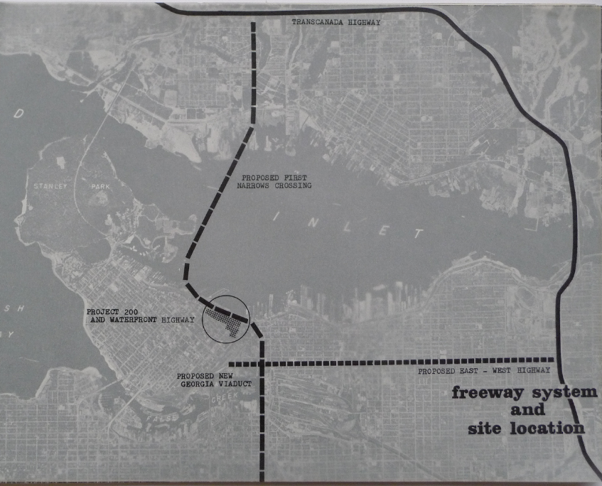
The plan was to construct a $340 million freeway system that would connect Vancouver to the Trans-Canada Highway and to Highway 99. The freeway would run between Union and Prior Streets, and wipe out Strathcona, most of Chinatown, much of the West End, plop an ocean parkway along English Bay, and turn Vancouver into a mini Los Angeles.

Chinatown:
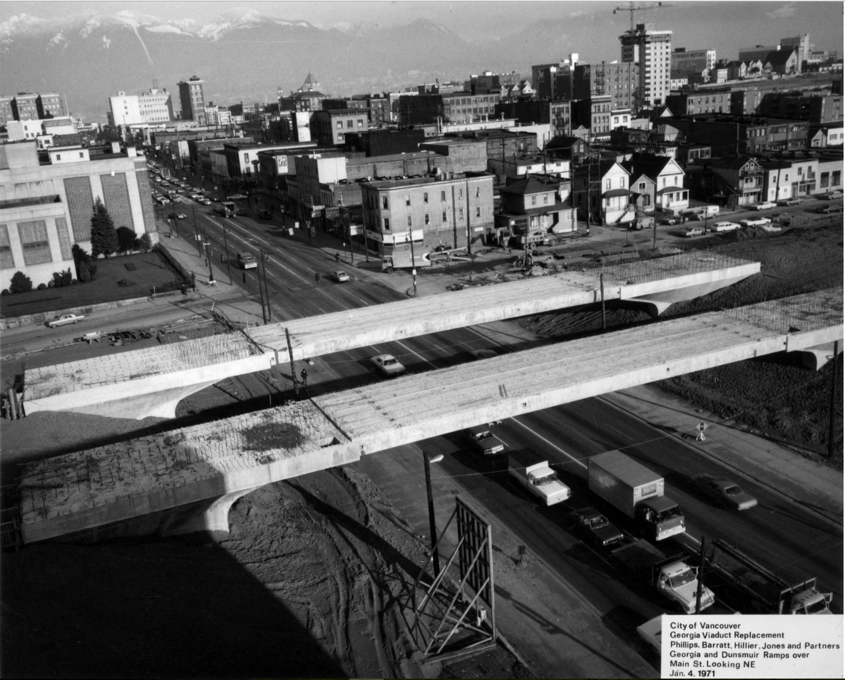
The Chinatown section of the freeway would connect to a giant ditch that would run through downtown along Thurlow to a third crossing of Burrard Inlet from Stanley Park. Fortunately, the only part of the plan that eventuated is the contentious Georgia Viaduct built in 1972.
“What they proposed for Vancouver would have laid concrete on elevated decks, in tunnels and trenches over and through much of the land now occupied by residential towers, parks and the seawall,” writes Price.

$2 Million Investment:
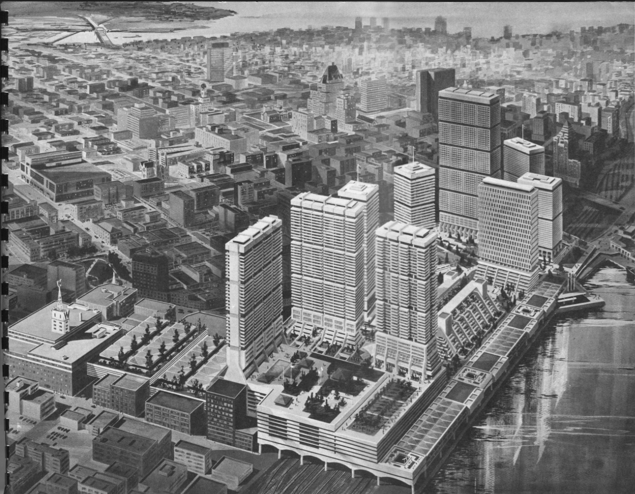
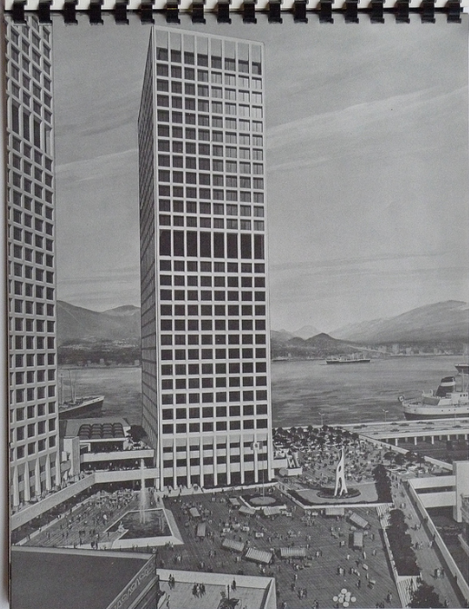
To get a sense of Project 200—which took its name from the needed $2 million investment—take yourself to the bottom of Granville Street and check out the plaza. Then look up at the Sun/Province tower. Then imagine a forest of office and residential towers, plazas, a major hotel, and parking for 7,000 cars that would destroy Waterfront Station, most of the Sinclair Centre and the heritage buildings in Gastown. Notes Price: “The site would have demolished practically everything from Howe to Abbott Streets, north of Cordova, and covered over the rail tracks on the CPR yards, with a southern extension to Woodwards on the east side.”

The experts say that the freeway proposal died because of lack of federal and provincial funding, but I’m clinging to the belief that it was defeated by grassroots opposition.


9 comments on “Project 200 and the Waterfront Freeway”
Thank God that never happened. BUT having said that leave the damned viaducts alone.
Project 200 and the Waterfront freeway died because of the dispute between the two senior governments. Without their contribution the whole project didn’t make financial sense and collapsed.
The east/west freeway running through the east side and Strathcona died because of grassroots opposition.
BTW, Woodwards survived because they were investors in Project 200.
There was an alternate plan to run the freeway under the city. Thurlow alignment to approx. Brocton Point then a tunnel to the north shore. The plans must be archived somewhere in the City Hall.
https://evelazarus.com/canada/wp-content/uploads/2016/01/aborted-plans-tunnel.jpg
Yes, there’s a story and some photos of the tunnel/crossing here: https://evelazarus.com/aborted-plans-a-third-crossing-for-the-north-shore/
How about the North Fraser River Harbour Commission with plans for a Massive Ferry Terminal and bridge to Point Grey on the Iona Island Jetty and Highway across Sea Island to Y. V. R, and the Freeway ?
I still got a copy of the first concept report .
That’s amazing, I’ve never heard of that one!
Though the Georgia Viaduct destroyed Hogan’s Alley and disrupted Union Street, it did provide an excellent base for my camera gear in the 1980s. On the NW exit, I photographed the beginning of the development of Keefer Place, the Sun Building Woodward’s “W”, etc., all now obscured by the condo towers … and, of course, that vantage point will be gone if plans to demolish the viaduct proceed.
[…] situated where the 2nd CPR station had been located until 1914 (demolished that year) and where the Project 200/Granville Square platform ultimately would be built (above the platforms) in the early 1970s. It […]
[…] As the seventies arrived, megalomaniacal neighbourhood-razing schemes were falling out of vogue. Notice that this map from a 1972 study still has its rapid transit lines terminating at “Project 200” – a massive waterfront redevelopment proposal then in its death throes. […]