 Lots of history to cover on this last leg of the Spirit Trail. We’re starting at Park Royal, which when it opened in 1950, was the first covered mall in Canada.
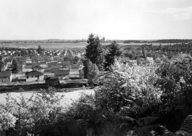
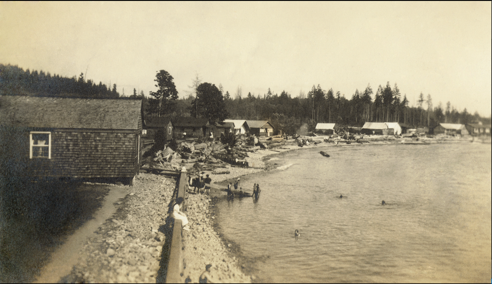
Prior to 1965, most of the land you’re riding on was swamp. Ambleside Beach is the product of 85,000 cubic metres of sand and gravel hauled from the sandbanks west of Navvy Jack Point. The pitch-and-putt is built on sawdust, bark and wood waste from a North Vancouver sawmill, and the duck lagoon used to be part of a slough.
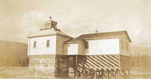
If you look to the right, you’ll see the Ambleside Youth Centre*. Before that it was the West Vancouver Rod and Gun Club, and before that it was one of 18 huts built by the Department of National Defence with four gun emplacements and anti-aircraft guns to defend the harbour entrance below the Lions Gate Bridge during World War 11. After the war, the District of West Vancouver bought the huts and converted them into housing for war vets and their families.
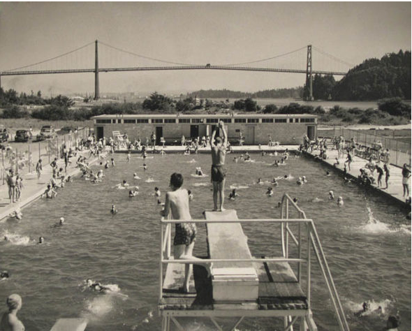
The huts were built on low land that flooded several times a year, and at those times, food and supplies were brought in by rowboat. By 1961, three were moved to the high school for classrooms and the others were destroyed.
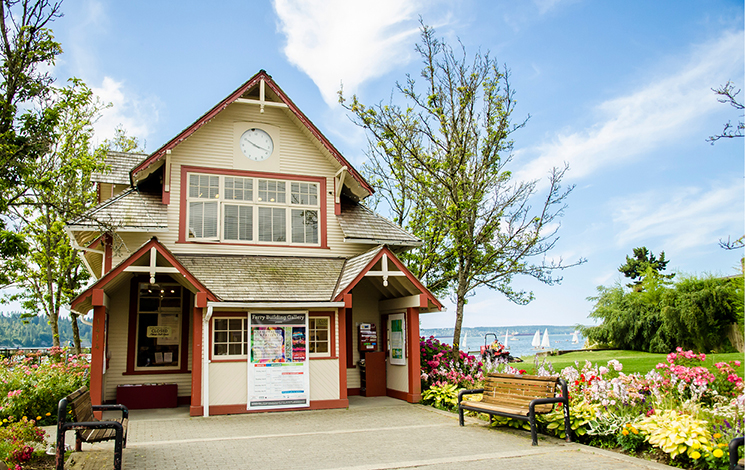
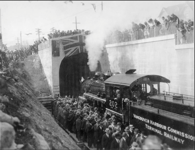
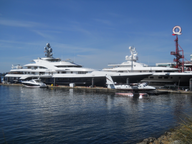
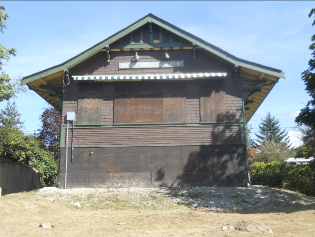
You’ll come out onto Argyle Avenue and soon see the Ferry Building. Before it was a quaint little art gallery, it was the headquarters of West Vancouver’s ferries which operated until 1947 from a dock at the foot of 14th Street. On a good day, the ferry trip to Vancouver took 25 minutes. Too bad we don’t still have service.
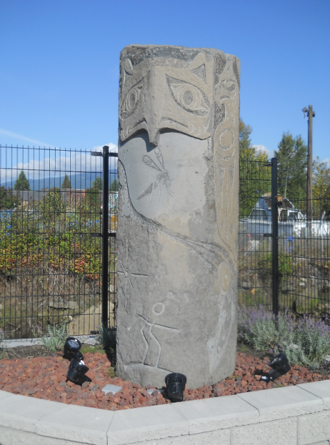
You’ll pass the imposing 16-foot high Welcome Figure that faces Stanley Park—a gift from the Squamish Nation to the people of West Vancouver in 2001.
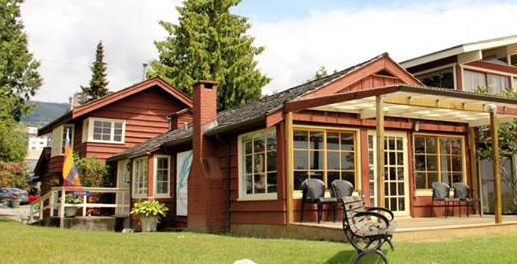
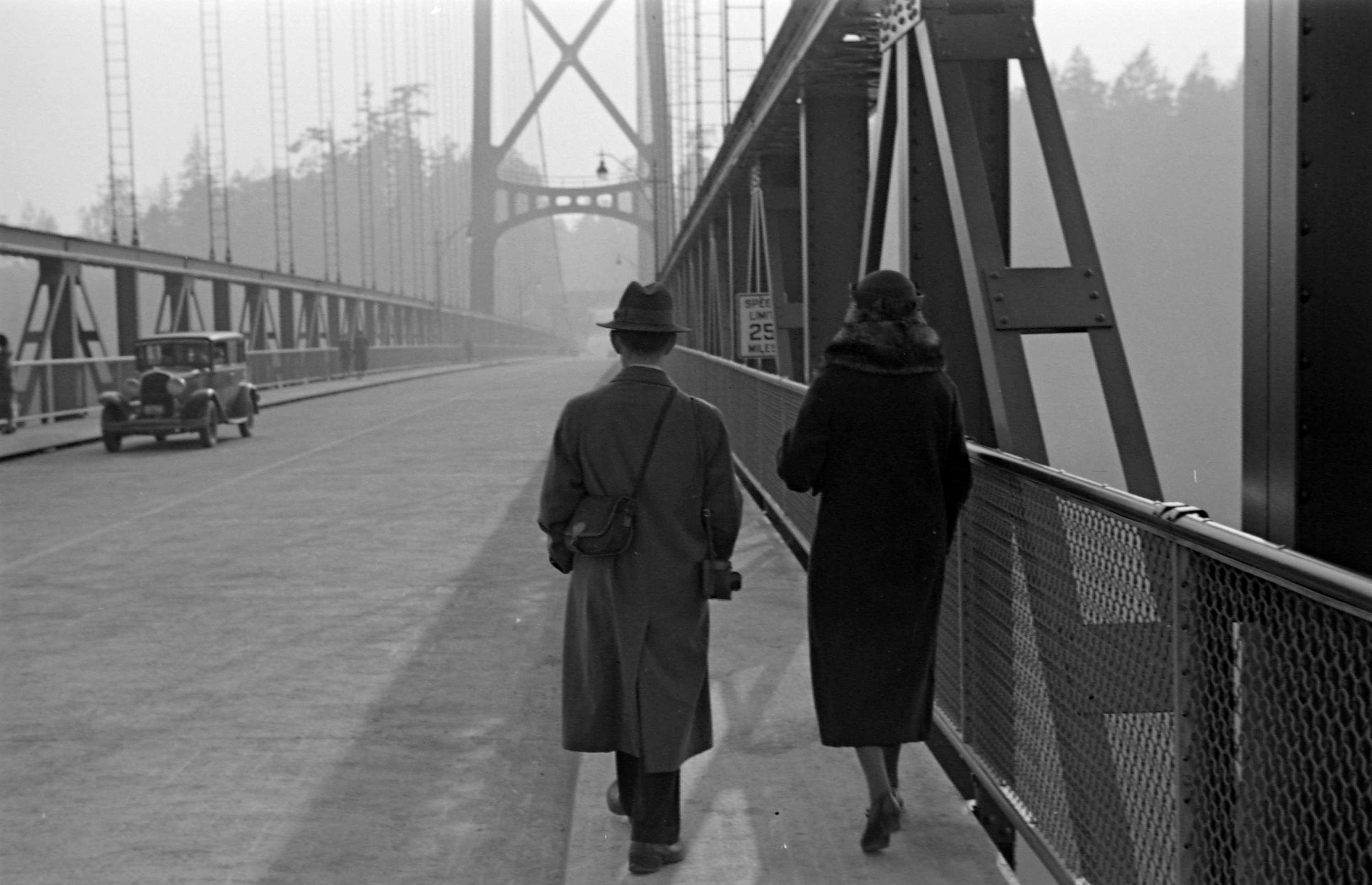
And then you’ll see the Silk Purse—one of the last examples of the summer cottages that used to dot the area before the Lions Gate Bridge opened in 1938. Built in 1925, former Vancouver Mayor Tom Campbell inherited the cottage from his father, and in 1969, sold it to John Rowland. Rowland’s son him he was trying to make a silk purse out of a sow’s ear. The name stuck and he rented out the Silk Purse as a ‘honeymoon cottage’ for $12 a night, including breakfast and champagne. The District of West Vancouver has owned the Silk Purse since 1991 and it is operated by the West Vancouver Community Arts Council.
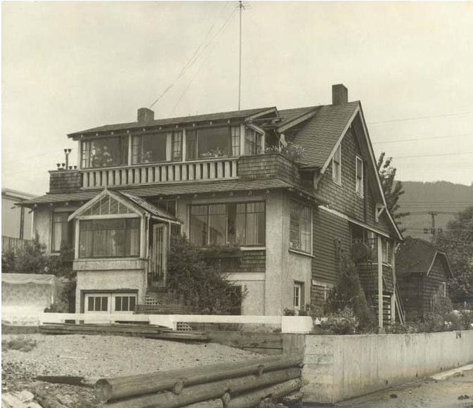
You’ll soon be at John Lawson Park, named for the man known as the “father of West Vancouver.” John was a mover and shaker in the West Vancouver business community. In the early 1900s, he bought Navvy Jack’s former house (1768 Argyle) and lived there until 1928. The house—the oldest on the North Shore—is unrecognizable from old photographs. Another victim of demolition by neglect.
*The building was demolished in March 2019
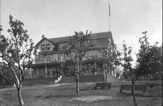
- Top photo: Park Royal Shopping Centre in 1949
With thanks and gratitude to North Vancouver Museum and Archives.
If you’ve missed any of the rides, please see:
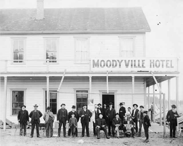
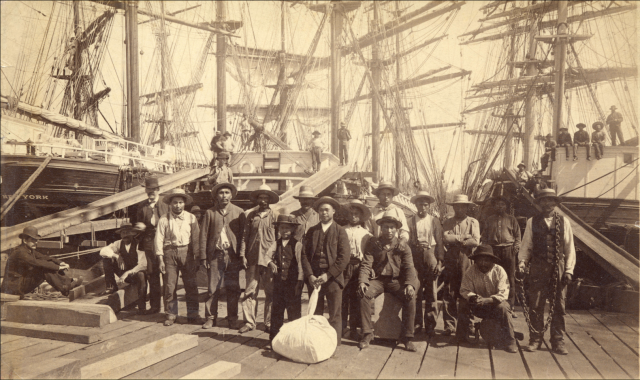
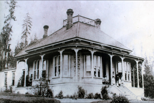
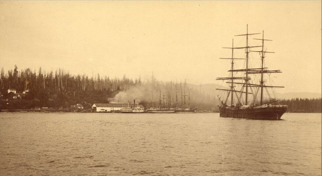
The North Shore’s Spirit Trail – Moodyville (part 1)
Moodyville to Lonsdale Quay (part 2)
Pemberton to Capilano River (part 6)
© All rights reserved. Unless otherwise indicated, all blog content copyright Eve Lazarus.